Historical Portrait
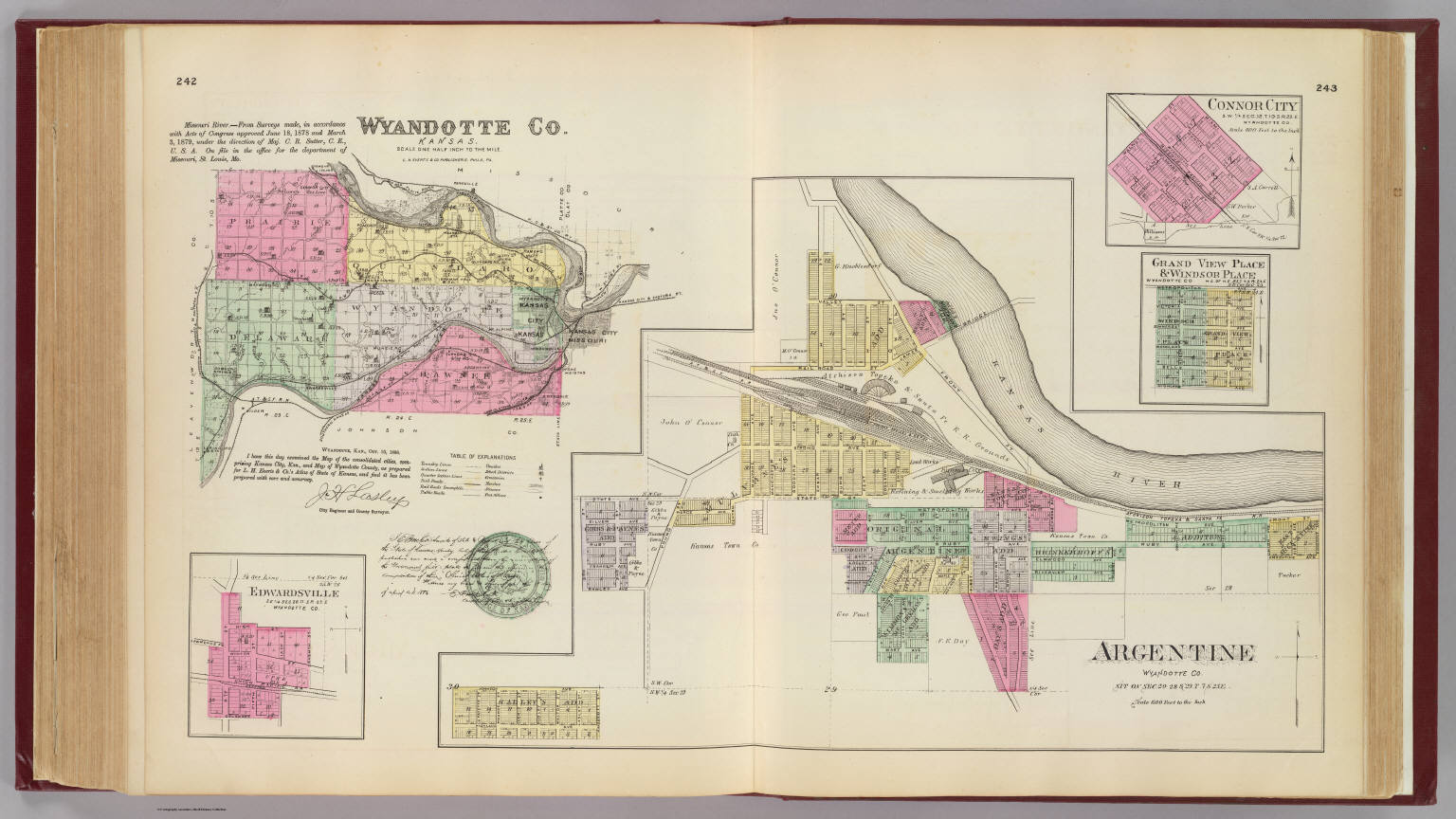
Argentine, Wyandotte Co. ... (with) Wyandotte Co., Kansas. (with) Edwardsville ... (with) Connor City ... (with) Grand View Place & Windsor Place ... (all) Wyandotte Co. L.H. Everts & Co., publishers,
About this portrait
Hand-colored lithographed map of Argentine and Wyandotte County, Kansas with city insets showing blocks and lots, published by L.H. Everts & Co. in 1887.
Rights & Attribution
Credit: Internet Archive
Rights: Images may be downloaded and used following Creative Commons CC BY-NC-SA 3.0 license. Image credit should be given to "David Rumsey Map Collection, David Rumsey Map Center, Stanford Libraries." Please contact the David Rumsey Map Collection for commercial use. <a href="https://www.davidrumsey.com/about/copyright-and-permissions" rel="ugc nofollow">https://www.davidrumsey.com/about/copyright-and-permissions</a>