Historical Portrait
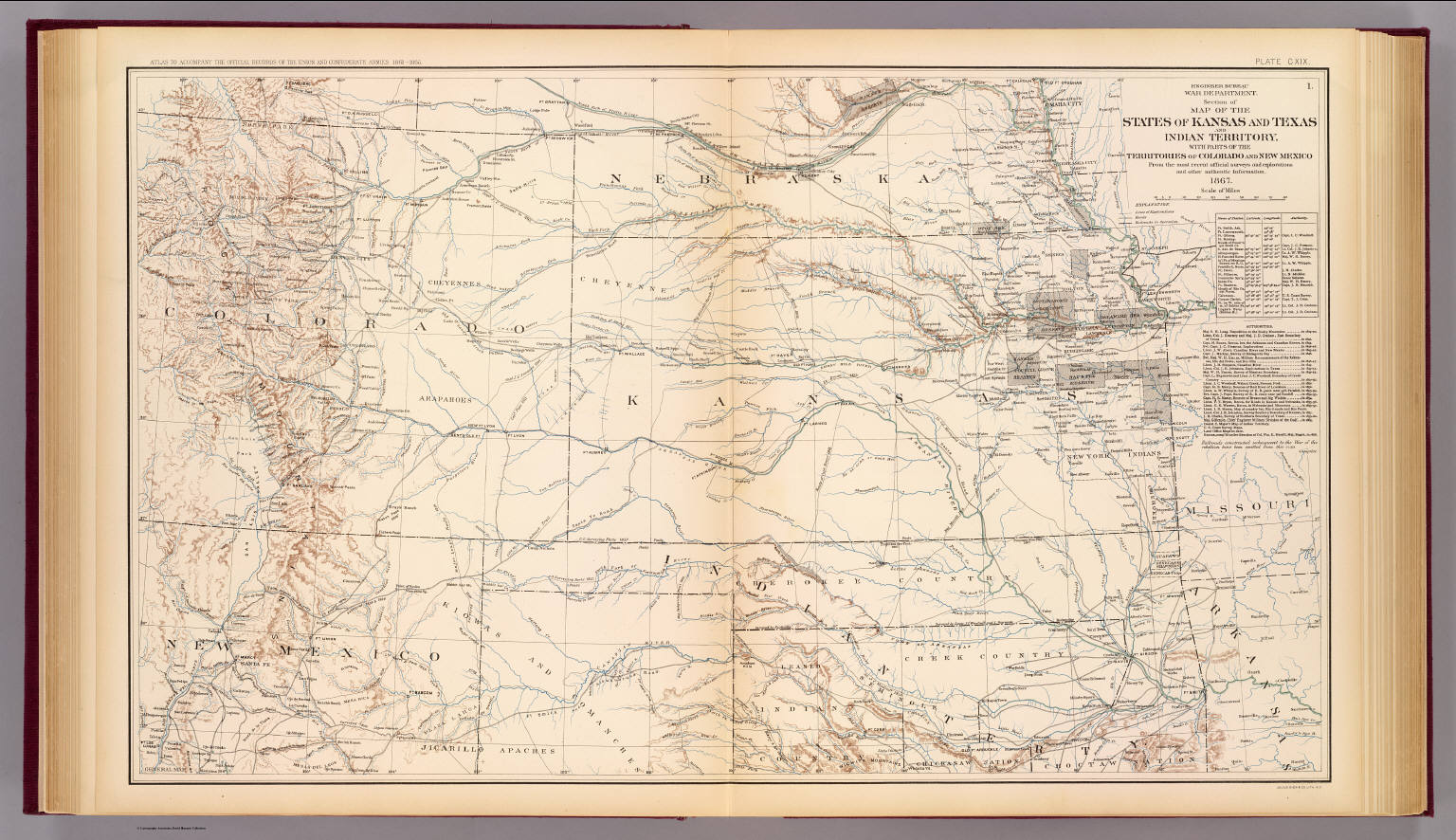
Engineer Bureau, War Department. Section of map of the states of Kansas and Texas and Indian Territory, with parts of the territories of Colorado and New Mexico. From the most recent official surveys
About this portrait
Public domain 1895 War Department map showing Kansas, Texas, Indian Territory, and parts of Colorado and New Mexico with settlements, roads, and forts.
Rights & Attribution
Credit: Internet Archive
Rights: Images may be downloaded and used following Creative Commons CC BY-NC-SA 3.0 license. Image credit should be given to "David Rumsey Map Collection, David Rumsey Map Center, Stanford Libraries." Please contact the David Rumsey Map Collection for commercial use. <a href="https://www.davidrumsey.com/about/copyright-and-permissions" rel="ugc nofollow">https://www.davidrumsey.com/about/copyright-and-permissions</a>