Historical Portrait
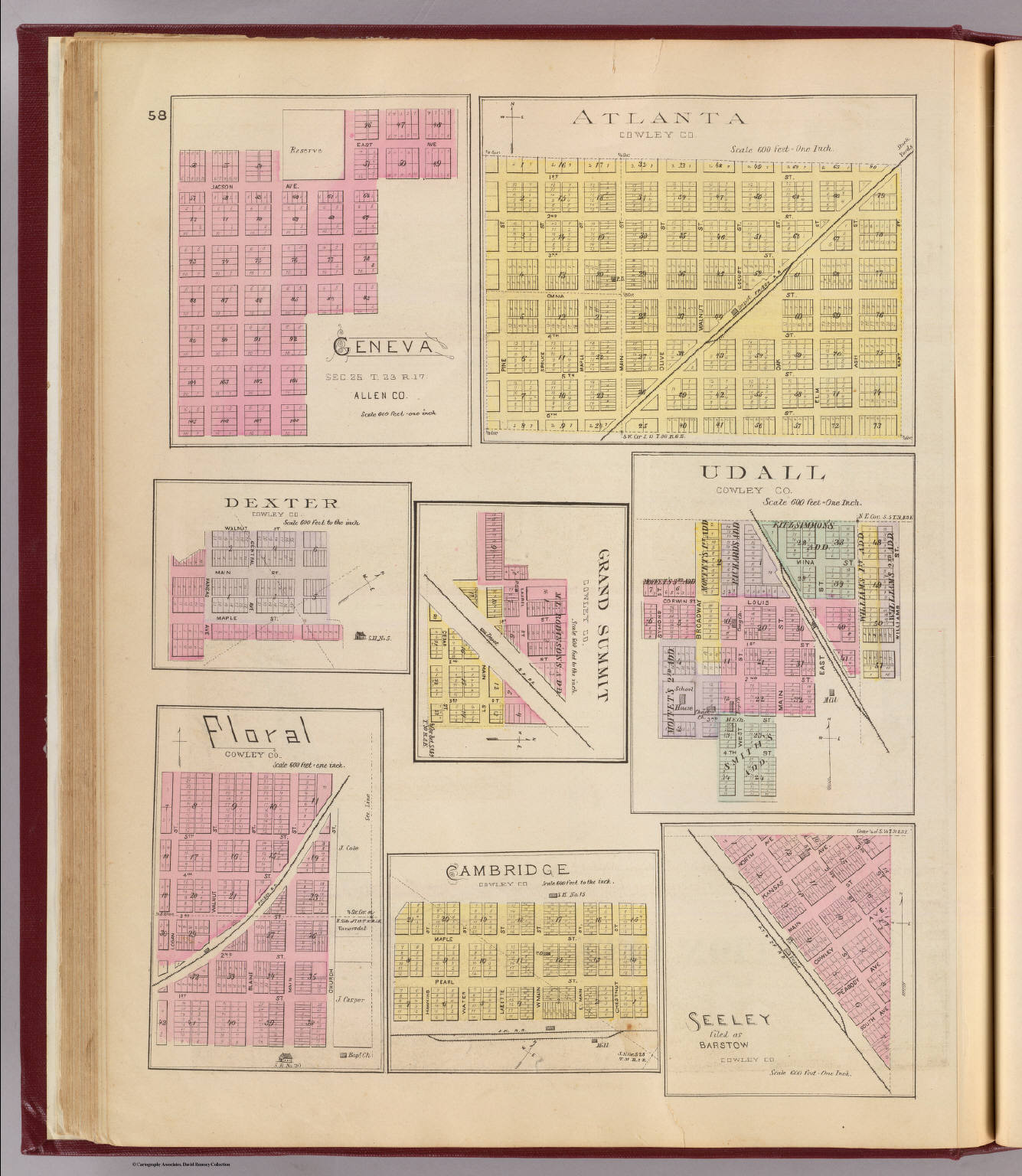
Geneva ... Allen Co. (with) Atlanta ... (with) Dexter ... (with) Grand Summit ... (with) Udall ... (with) Floral ... (with) Cambridge ... (with) Seeley, filed as Barstow ... (all) Cowley Co. (L.H. Eve
About this portrait
Historical lithographed maps of Kansas counties and towns including Geneva, Atlanta, Dexter from the Official Atlas of Kansas 1887. Public domain archive.
Rights & Attribution
Credit: Internet Archive
Rights: Images may be downloaded and used following Creative Commons CC BY-NC-SA 3.0 license. Image credit should be given to "David Rumsey Map Collection, David Rumsey Map Center, Stanford Libraries." Please contact the David Rumsey Map Collection for commercial use. <a href="https://www.davidrumsey.com/about/copyright-and-permissions" rel="nofollow">https://www.davidrumsey.com/about/copyright-and-permissions</a>