Historical Portrait
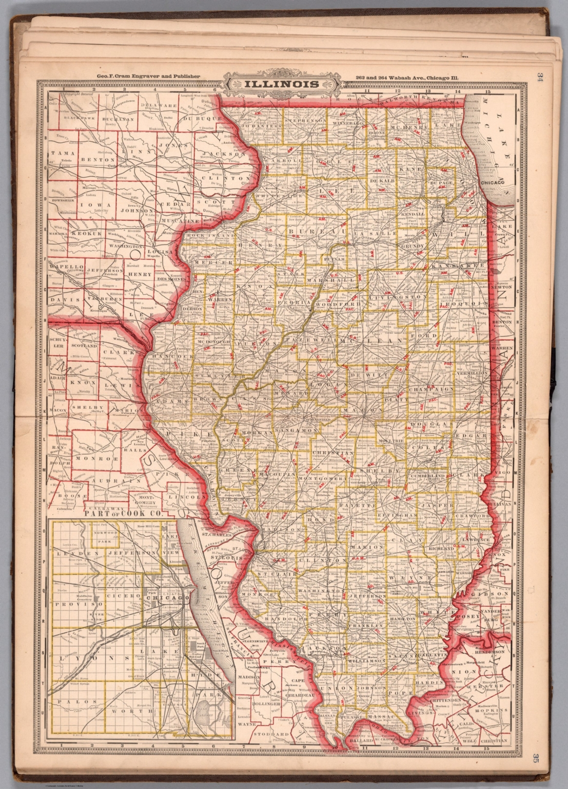
Illinois. Geo. F. Cram, engraver and publisher, 262 and 264 Wabash Avenue, Chicago, Ill. 1882.
About this portrait
Historical map of Illinois showing railroads, county boundaries, cities and towns from 1882. Created by George F. Cram, Chicago publisher. Public domain.
Rights & Attribution
Credit: Internet Archive
Rights: Images may be downloaded and used following Creative Commons CC BY-NC-SA 3.0 license. Image credit should be given to "David Rumsey Map Collection, David Rumsey Map Center, Stanford Libraries." Please contact the David Rumsey Map Collection for commercial use. <a href="https://www.davidrumsey.com/about/copyright-and-permissions" rel="ugc nofollow">https://www.davidrumsey.com/about/copyright-and-permissions</a>