Historical Portrait
(Index to) Index to Cram's Map of Kentucky (1).
About this portrait
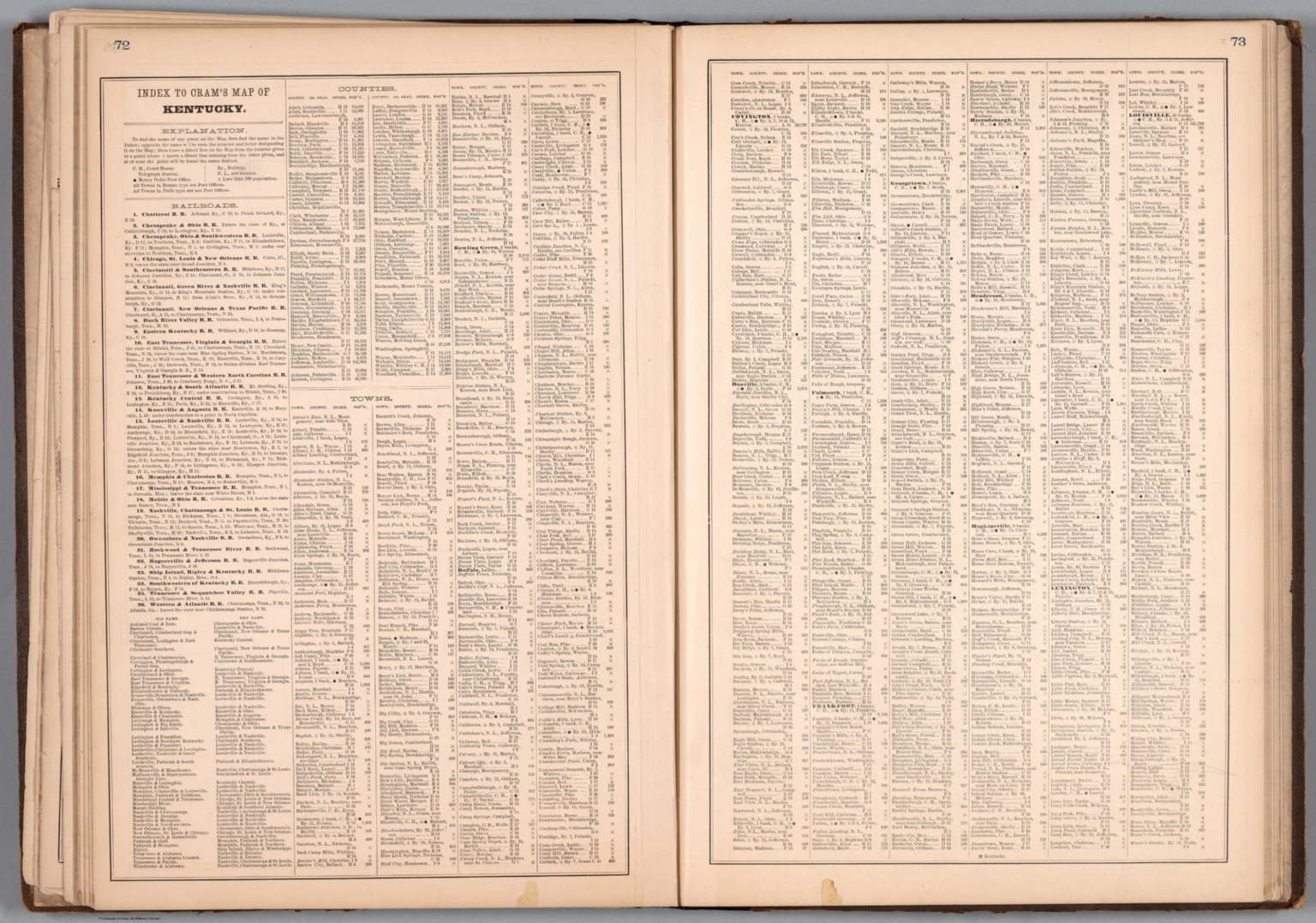
Historical index page from George F. Cram's 1882 commercial atlas of Kentucky, listing population, railroads, counties and towns. Public domain archive.
Rights & Attribution
Credit: Internet Archive
Rights: Images may be downloaded and used following Creative Commons CC BY-NC-SA 3.0 license. Image credit should be given to "David Rumsey Map Collection, David Rumsey Map Center, Stanford Libraries." Please contact the David Rumsey Map Collection for commercial use. <a href="https://www.davidrumsey.com/about/copyright-and-permissions" rel="nofollow">https://www.davidrumsey.com/about/copyright-and-permissions</a>