Historical Portrait
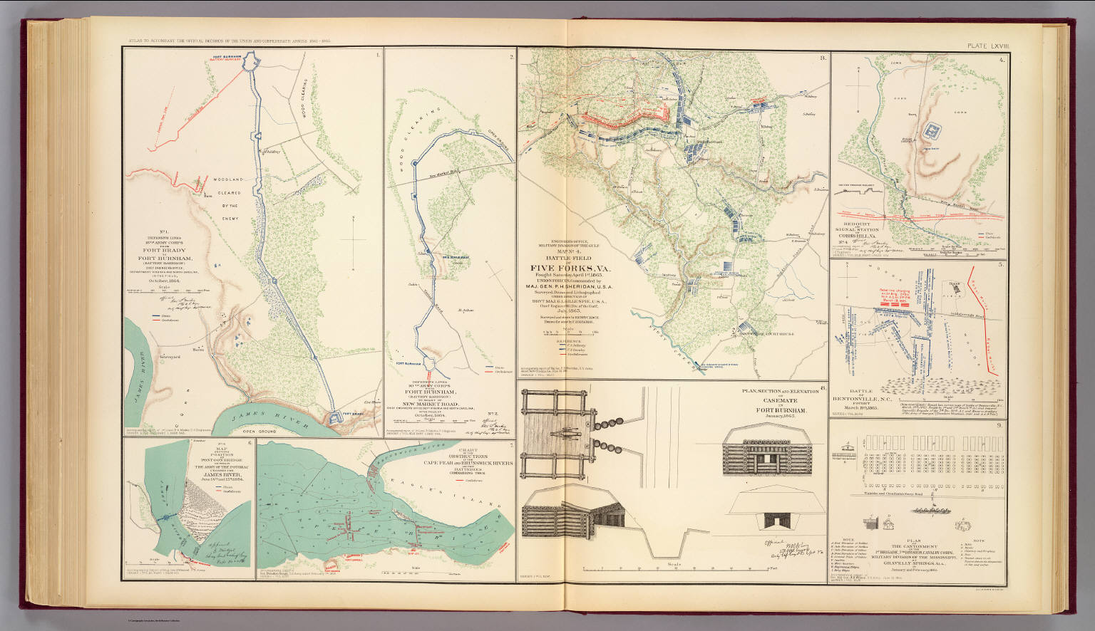
No. 1. Defensive lines, 18th Army Corps from Fort Brady to Fort Burnham, Battery Harrison ... October, 1864. Engineer's Office, Military Division of the Gulf. Map no. 4. Battle-field of Five Forks, Va
About this portrait
Historical Civil War military map showing defensive lines of the 18th Army Corps from Fort Brady to Fort Burnham, Virginia, October 1864. Public domain.
Rights & Attribution
Credit: Internet Archive
Rights: Images may be downloaded and used following Creative Commons CC BY-NC-SA 3.0 license. Image credit should be given to "David Rumsey Map Collection, David Rumsey Map Center, Stanford Libraries." Please contact the David Rumsey Map Collection for commercial use. <a href="https://www.davidrumsey.com/about/copyright-and-permissions" rel="nofollow">https://www.davidrumsey.com/about/copyright-and-permissions</a>