Historical Portrait
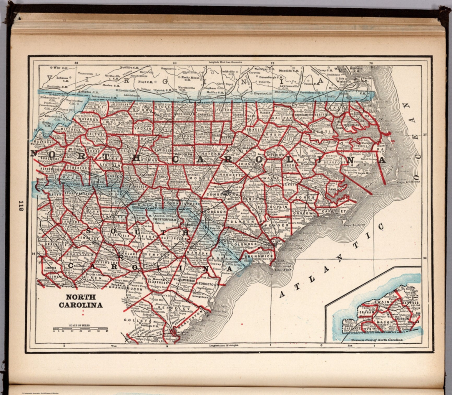
North Carolina. (to accompany) The Columbian World's Fair atlas ... Published for: Wood Brothers Cash Store ... Unadilla, New York. (inset) Western part of North Carolina.
About this portrait
Historical map of North Carolina from the 1893 Columbian World's Fair Atlas, showing state and county boundaries, cities and towns. Public domain.
Rights & Attribution
Credit: Internet Archive
Rights: Images may be downloaded and used following Creative Commons CC BY-NC-SA 3.0 license. Image credit should be given to "David Rumsey Map Collection, David Rumsey Map Center, Stanford Libraries." Please contact the David Rumsey Map Collection for commercial use. <a href="https://www.davidrumsey.com/about/copyright-and-permissions" rel="nofollow">https://www.davidrumsey.com/about/copyright-and-permissions</a>